

Spotter Information Statement
Spotter activation is not expected at this time.
Weather Alerts for Ottawa County
No active weather alerts at this time.
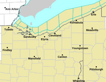
Warnings Map
Satellite Imagery
US Satellite

Great Lakes Satellite

Radar
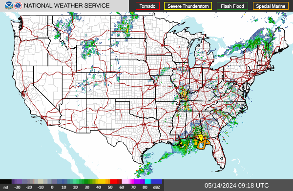
US Radar
AREA Radar

Local Forecast
-
This Afternoon
Patchy smoke. Sunny, with a high near 80. Northeast wind around 8 mph. -
Tonight
Patchy smoke. Mostly clear, with a low around 62. Southeast wind around 5 mph. -
Monday
Patchy smoke before 9am. Mostly sunny, with a high near 84. South wind 2 to 8 mph.